


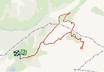

11.9 km | 19.7 km-effort


User


FREE GPS app for hiking
 SityTrail
IGN / Geographical institutes
SityTrail World
The world is yours!
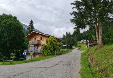
Trail Walking of 12.6 km to be discovered at Auvergne-Rhône-Alpes, Upper Savoy, La Clusaz. This trail is proposed by grattounette.
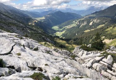
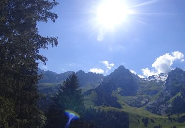
départ du premier parking , monté en direction de la manchette par le chemin blanc ,le Paccaly ,la pierre marquée a gauche sur mono trace chemin peu visible et peu emprunter pour arriver a la bombardellaz, reprendre la direction du refuge de bombardellaz, a gauche sur petit sentier en monté vers chalet de Tardevant, belle montée pour arriver au lac , au lac pour les courageux continue pour arriver sur la crête de l'ambrevetta et le pic de Tardevant .du lac redescendre jusqu'au chemin blanc au niveau du chalet redescendre un peu le chemin avant de prendre a gauche sur un sentier qui vous ramène par le Paccaly d'en haut et après le retour sur Paccaly a gauche sur chemin blanc et retour au point de départ

Walking
Mountain bike
Mountain bike
Mountain bike
Walking
Walking
Mountain bike

Walking

Walking